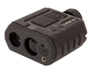
Transform your mapping capabilities with our high-precision Laser Rangefinder, delivering unmatched accuracy for every measurement. Paired seamlessly with our GNSS Receiver, it's the dynamic duo that revolutionizes mapping efficiency
3D Laser Rangefinder
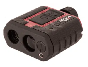
LTI’s exclusive TruVector 360° Compass Technology®, a key feature for the TruPulse 360° models, brings added azimuth data measurements which are calibrated to deliver the best possible accuracy regardless of what pitch or angle you shoot from
The TruPulse 200 Series Missing Line routine is a 2D vertical measurement. Take 2 shots to remote targets, and calculate the distance & inclination values between those 2 remote targets.